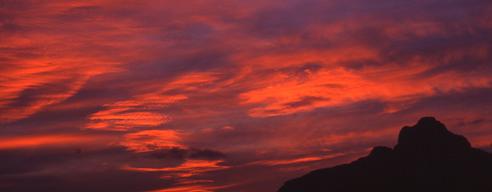
Protected Landscape of La Solana del Benicadell
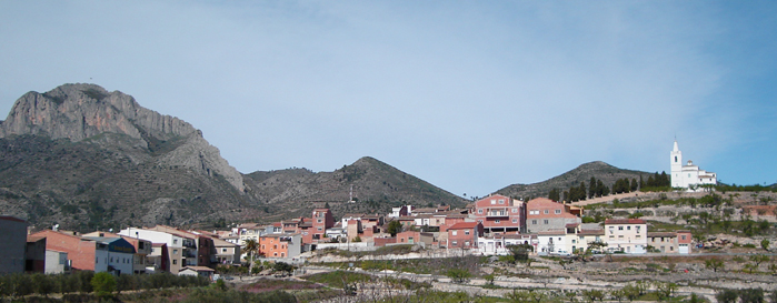
The Serra de Benicadell is a space used since prehistoric times as a habitat of human groups, which found in their caves and slopes a place of refuge and hunting. The most important prehistoric site in the area is the Cave of Gold (Beniarrés), from the Lower Neolithic (6,000 BC), a worldwide reference point due to the importance of localized materials that marked the fate of a new era: the birth of agriculture in the western Mediterranean. Other outstanding sites are the Cova del Moro (Muro), the Cueva Negra (Gaianes) and the Sercat (Gaianes), populated in the second millennium BC. The Islamic culture also left its mark in the mountains, highlighting the settlement of Alto de la Nevera (Gaianes), where it is believed that in the year 1092 the Cid fortified a castle of Arab origin existing on top of “Peña Cadiella” – as the Cantar del Mío Cid refers to. In Benicadell, there are also several snowcups.
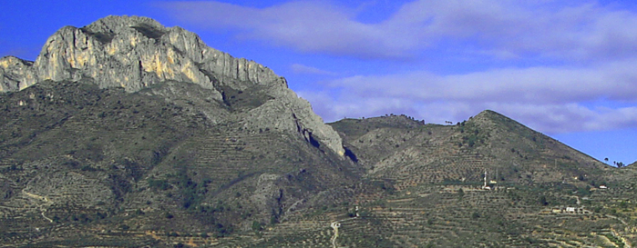
Already in the sixteenth century, the demographic pressure forced the abolition of its slopes to hardly imaginable levels, which were combined with other traditional uses of the mountain range, such as logging, logging and beekeeping.
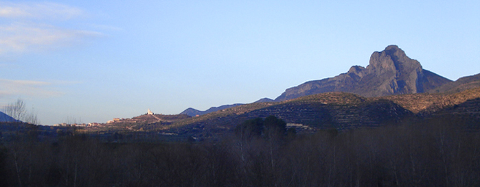
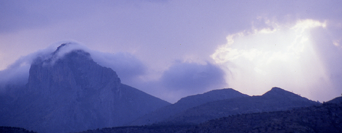
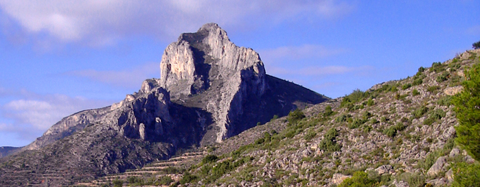
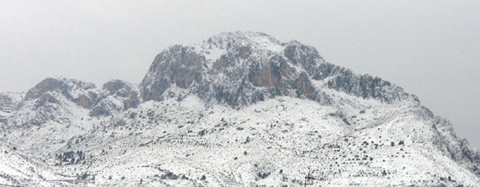
On the other hand, Benicadell is a classic of mountaineering and environmental education, being the referent of many climbers who find in it the fascination of the great mountains, with its long, rocky facade and crenellated by a sharp, slender crest, and enriched for places of deep social and cultural significance.
In short, the Solana del Benicadell is a landscape in whose shape has much to do with human action throughout history, which has created new and diverse environments.
Based on considerations in all aspects to the previous ones, the northern slope of this mountain range, located in the province of Valencia, was declared a Landscape Protected by the Consell de la Generalitat, under the name “Ombria del Benicadell”. The Protected Landscape of the Solana del Benicadell completes the protection of the mountain massif on the slope included in the province of Alicante, which is why both protection initiatives are complementary and mutually reinforcing.
Rafael Cebrián. “By the summits of the Valencian Community: 50 selected mountains”

